Route & Elevation
The Big Five Marathon features two distances:
Full marathon - 42.195km/26.2mi
Half marathon - 21.1km/13.1mi
Please note that race officials reserve the right to make last-minute changes to the course in order to maintain safe running conditions.
Route Description
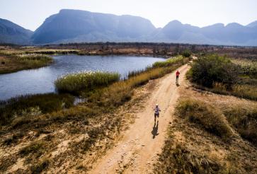
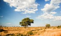
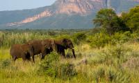
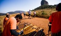
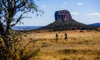
The Big Five Marathon is known for its challenging course, which takes runners through incredible scenery and showcases the natural beauty and wildlife of South Africa.
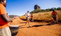
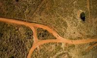
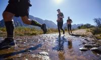
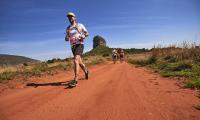
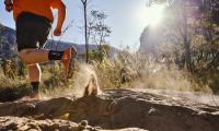
The start and finish line are situated at Lakeside Lodge on the upper escarpment. After the start, the marathon and half marathon routes take the runners past Ravineside Lodge, the Entabeni Monolith and further on to the lower plateau. This first section is run on dirt roads made up of red sand. Runners will pass a few hills (nothing too bad…the most challenging is yet to come!). And when you reach Hanglip View Point, you backtrack and run back before you reach Yellow Wood Valley. Pay attention to this section as the surface is very uneven with loose rocks, pebbles and holes.
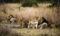
The Yellow Wood Valley is the most dreaded part of the course. You are about to run down the steepest slope of your life! This sharp descent is on a paved surface. The next three kilometres or so will be excruciatingly hard on your quads as you negotiate the steep slope. You reach lion country after the descent. And, although the next nine kilometres are flat, you’re running through deep sand. Full marathoners do a 9km loop, whereas half marathon runners run a 2km loop.
This brings us back to Yellow Wood. And yes, you guessed correctly - we’re going up the dreaded hill this time! Be prepared to take things slowly as it’s virtually impossible to run up this hill.
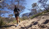
The route carries on to Long Drive, a narrow valley, where marathon runners do a 6km loop. Half marathoners run across the valley and reach the final section of the route. This section is run on dirt trails, a welcome respite from the deep sand and loose stone terrain earlier on.
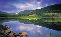
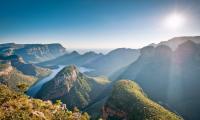
The end of the run is fairly hard (final four kilometres). We run halfway down the ridge, which provides us with a wonderful view out over the plateau's lake. The surface is fairly bad, consisting of hard uneven stony ground with plenty of large rocks and stones of all sizes. This final part has quite a few hills and as the surface is loose, it pays to keep a careful watch on the ground as we run towards the finish. With the finish line in sight you can now take it nice and easy.
The weather is very dry, sunny and cool at this time of the year. Participants can expect an average temperature of around 15-20 Celsius, but with variations due to sun, shade, wind and altitude.
Route Logistics
Kilometre signs can be found along the entire route. Owing to the conditions, however, they may be placed +/- metres from the exact point. The signs are therefore only for orientation and runners shouldn't calculate speed based on the signs.
Start / Finish
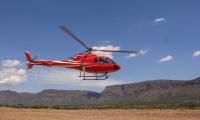
The Big Five Marathon starts and finishes at Lakeside Lodge on the upper escarpment. Runners staying at the other lodges will be transferred to Lakeside in jeeps. An early breakfast will be served at each lodge before departure.
The marathon and half marathon have separate start times. The marathon is scheduled for 9am. The half marathon will start at 9:15am. Please note that the presence of wildlife near the route may cause delays.
All finishers will receive a medal at the finish line. After the race, a buffet lunch will be served at Lakeside Lodge. Jeeps going back to your own lodge will depart when full (10 passengers). It is possible to use a shower next to the medical facility at Lakeside. Please bring a towel along if you wish to shower before heading back from the finish area.
Surface
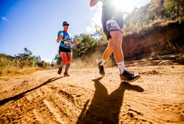
The surface varies from deep sand, dirt tracks and trails to paved roads and pebbly surfaces with holes. Take care when running along surfaces with loose stones and holes. The steep ascent and descent is run on a paved surface. For more information, see the elevation map.

